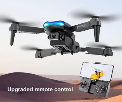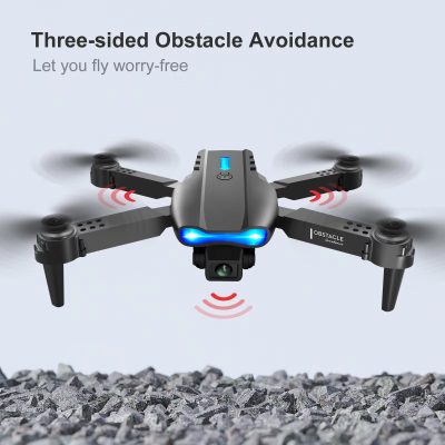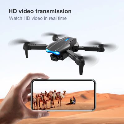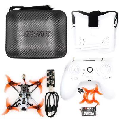
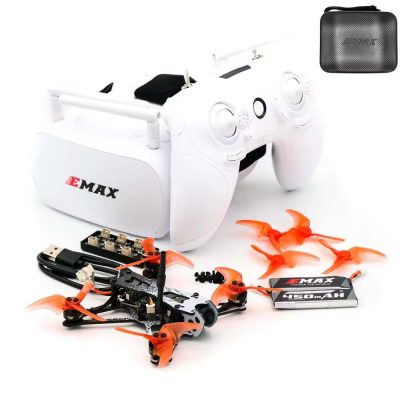
| Product Name | RC Drone |
| Material | High-strength plastic, Carbon fiber, Aluminum alloy |
| Flight Time | 25 minutes |
| Battery | 11.1V 3000mAh Li-Po |
| Charging Time | 90 minutes |
| Controller Frequency | 2.4 GHz |
| Control Range | 1000 meters |
| Gimbal | 3-axis stabilized gimbal |
| GPS | Yes |
| Max Speed | 60 km/h |
| Max Altitude | 500 meters |
| Sensors | Obstacle avoidance sensors, Altimeter, Gyroscope |
| Flight Modes | GPS Mode, Follow Me, Waypoint, Return to Home |
| App Compatibility | iOS, Android |
| Memory | MicroSD card up to 128GB |
| LED Indicators | Battery status, GPS status, Signal strength |
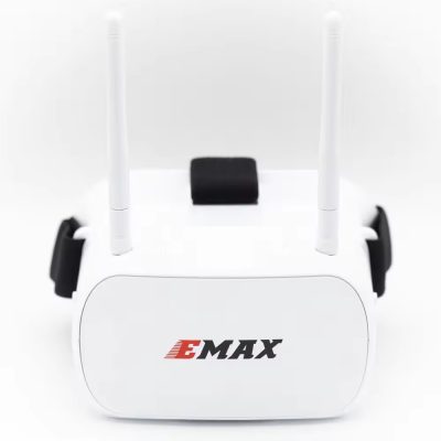
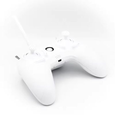
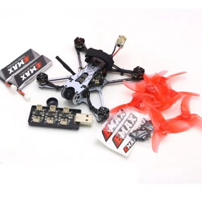
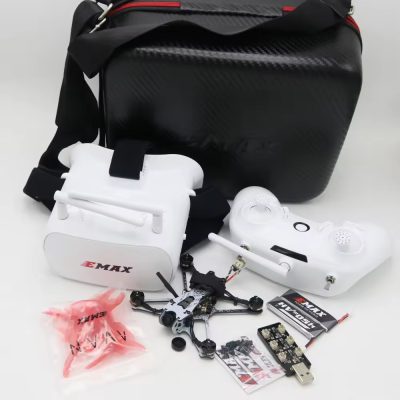
| Included Accessories | Spare propellers, Carrying case, Charger, USB cable |
Embrace innovation with our professional-grade RC Drones designed for aerial mapping and surveying applications. Equipped with advanced GPS positioning and mapping software compatibility, our drones facilitate precise mapping of terrain, construction sites, and agricultural fields. Capture high-resolution aerial images and generate accurate 3D models with our integrated camera systems and automated flight planning tools. Built to withstand rugged conditions and equipped with long-range transmission capabilities, our RC Drones are trusted by professionals for their reliability and efficiency in data collection and analysis.
